Railway Project
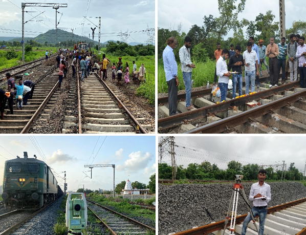
Vrinda Infrastructure have experience of carrying out railway surveys. We can work on network rail infrastructure for different section of Indian railways (IR). Ourrailways Survey consists of topographic surveys for drainage schemes, scour protection surveys, headwall surveys and culvert survey work associated with ground stabilization, along with other more varied tasks
We provide our clients an insight of their proposed projects by working on the project’s design and drawings. The drawings and designs would also be presented before the authorities for getting various approvals. This will help our clients to get their work done within a single roof. Some note project are here.
Road Survey
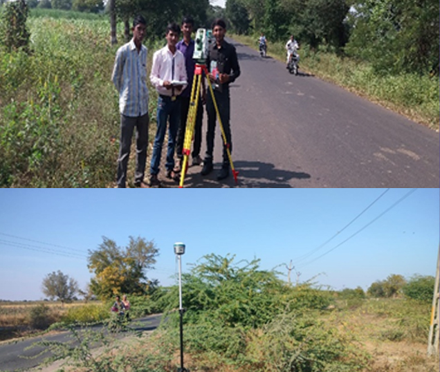
We are one of the noted Road Surveys service providers and these services are delivered by experienced industry professionals that are designed in compliance with international quality standards. We have been instrumental in conducting road surveys that aid in determining the condition of pavement sub layers & location of any potentially dangerous voids.
The report finds usage in utility mapping of position & depth of all utilities, including PVC and fiber optics. A thorough analysis and detailed researches has conducted and accordingly the report of the collected data gets delivered to the clients in the form of hard copy or in CD format. These high quality services are provided keeping in view the various criticalities of the work involved. We provide our clients a clear and true picture of their organization regarding the quality assurance and compliance with guidelines in all spheres.
Irrigation Network & Canal Designs
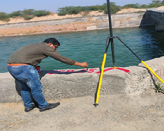
Vrinda Infrastructure are extensive expertise in Irrigation Network & Canal Designs. Designer reviews the hydraulics of the system and highlights problem points. It is basically used for irrigation systems. It is highly demanded and appreciated by our customers. We are engaged in offering a qualitative Canal Survey Service to our clients. Canal crossing surveys determine bathymetry of waterways being crossed to establish a suitable route and aid in pipeline design.
We are engaged in rendering effective Canal Survey Services that find their applications in canal engineering works. A team of survey experts do careful inspection of the various factors like soil, land height, area and other for optimum results. Use of technologically advanced tools and machines during survey further assures the error-free and accurate results. We also offer customized Canal Survey Services for canals as per the needs of our esteemed customers.
Pipe Line Survey
& Design
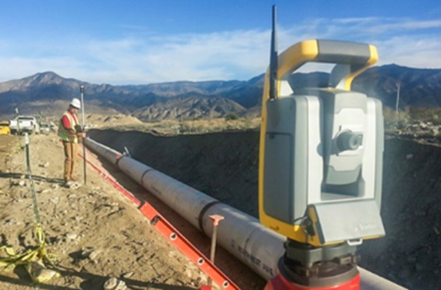
Vrinda Infrastructure pipe line surveyors are respected for safely gathering high-quality data on oil, gas, and water projects ranging from simple upstream pipeline tasks to complex midstream and long-haul, pre- and post-construction surveys. Our nationally licensed professional pipeline surveyors and dedicated field crews take pride in understanding the industry and applying their experience, technology, and skills to help our clients achieve their goal of delivering products in a timely manner.
We have extensive experience performing specialized pipeline surveys and data collection on thousands of miles of projects. Oil, gas, and water pipe line surveying is a Vrinda Infrastructure core service, so we commit to recruiting and retaining the best people for the work. Our clients feel confident that the team we provide is highly skilled in the procedures and processes needed to support their time-sensitive projects.
Contour Survey
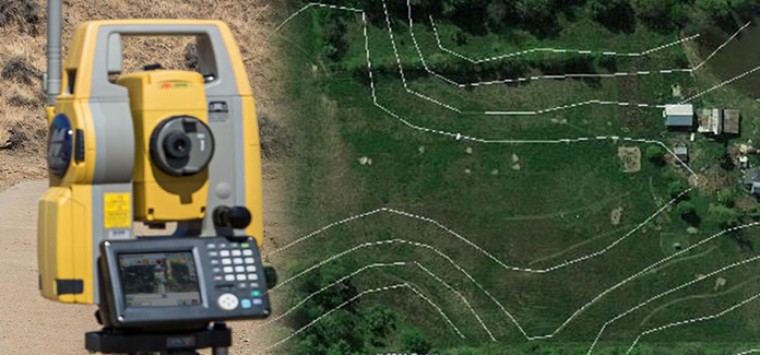
We are one of the noted service providers in delivering Contour Survey services that are designed in compliance with international quality standards. Our services are rendered to the clients at cost effective prices. These can be tailor made and customized as per the specifications given by the client. We use latest technology and program to design our surveys that aligns with the specifications provided by our clients These surveys are conducted to identify any kind of difference in elevation of the existing ground. The slopes of same height are connected by imaginary lines known as contours. As the contour map provides information of the existing terrain condition, the design team can perform the following activity: Decide the proposed ground profile Design the drains For proposed industrial buildings, complexes, roads, the volume of cutting and filling can be computed while analyzing a ground profile Strengthening and widening roads Leveling or excavating the existing ground to the depth, which is needed
Traffic Survey
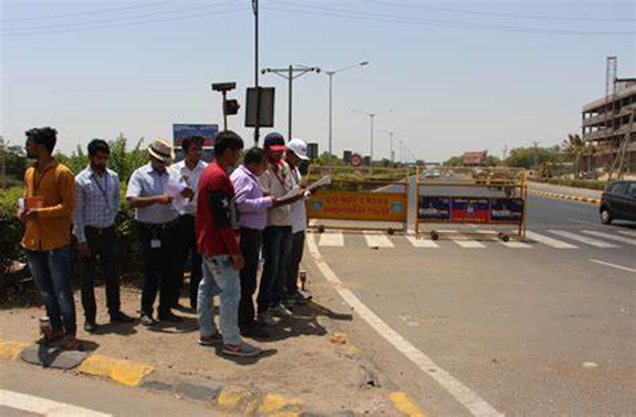
The Company targets to deliver consulting services in the field Traffic Data Collection, Environmental Studies, Traffic Impact Studies as well as quality field data collection with utmost accuracy. Our expert team is also capable of conducting large scale Transport Surveys required for developing city-wide transport demand models and manual Trip Generation. In addition, we offer full range of traffic engineering services.
Façade Survey
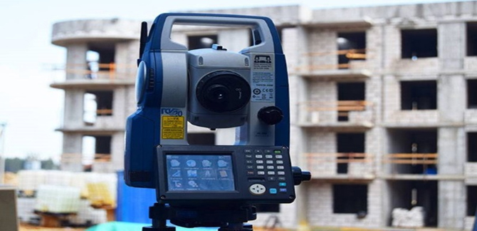
The façade forms the external weatherproof envelope of a building. In modern buildings, the façade is often attached to the building frame and provides no contribution to structural stability. This type of façade can be referred to as a non-loadbearing vertical building enclosure. There are different types of construction, including profiled metal sheets, cladding panels or glass and aluminium curtain walling.
Condition surveys of building façade area are a specialist activity. It is important that you employ a suitably qualified, experienced, adequately insured person to carry them out. A carefully tailored schedule will dramatically reduce the incidence of unplanned repair and thus minimise disruption
GPR Survey
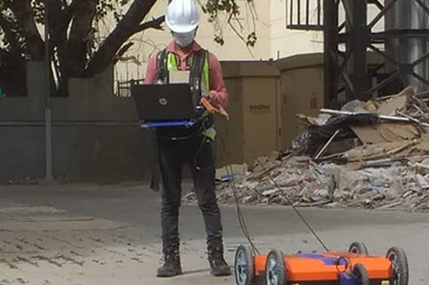
Geo Survey Solutions are well and trained in Ground-penetrating radar (GPR), and Provide accurate records, GPR is a geophysical method that uses radar pulses to image the subsurface. This nondestructive method uses electromagnetic radiation in the microwave band (UHF/VHF frequencies) of the radio spectrum, and detects the reflected signals from subsurface structures.
GPR Surveycan have applications in a variety of media, including rock, soil, ice, fresh water, pavements and structures. In the right conditions, practitioners can use GPR to detect subsurface objects, changes in material properties, and voids and cracks.
DPR Trepidation services
Keeping in mind clients’ diverse requirements, we are engaged in offering a wide range of PMGSY Road Survey & DPR Trepidation services in industry. Our experts use various types of modern equipment and latest techniques in conducting road surveys. Our survey team is well versed in its respective domain, which assist us in gaining clients’ maximum satisfaction. Further, our services are executed within the given time frame.

