About Us
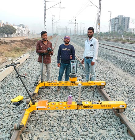
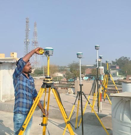
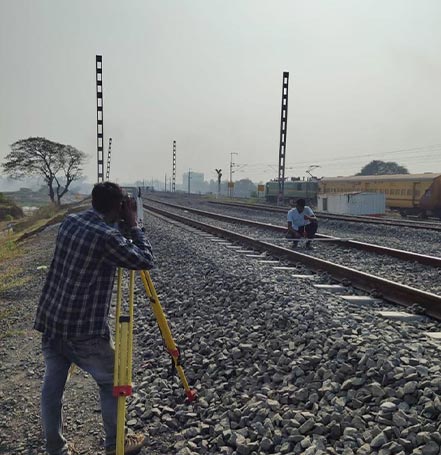
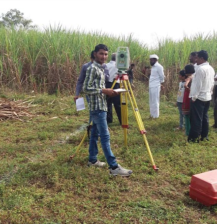
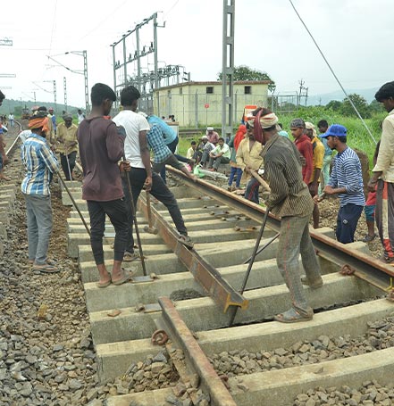
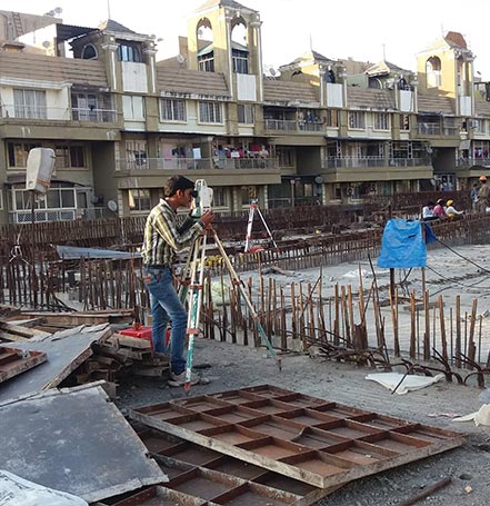
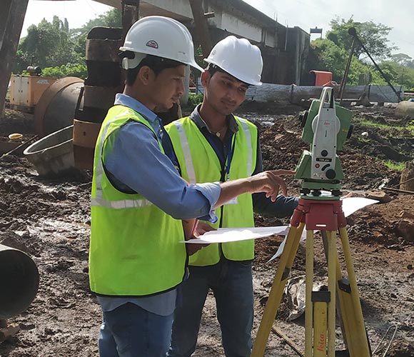
Vrinda Infrastructure is established company under the range of qualified professional in the field of DPR Survey, Alignment Design, DGPS Survey, Drone Survey, Total Station, Open Traverse & Close Traverse of Error Calculation, L section and Cross Section, CAD and GIS work, Pwork and Construction works in various location in India. our offices are located in Aurangabad, Parbani, Pune, Hyderabad and Surat.
The company is intended to provide a service and solutions to the clients through radical and innovative approach by offering advanced prototypes for enhancing the current technologies. Empowerment and Enhancement is the main strategy of our services.
What We Offer Services

Topographical Survey
We use a combination of high precision GPS/DGPS, Total Station and Laser Scanning, GPR to undertake topographic surveys and the information is processed through dedicated software to produce the required outputs, based on client requirements.
Read More

Landbase Survey
We provide accurate, hassle-free, high quality on time land surveys at a Affordable price through our dedicated highly experience professionals.
Read More
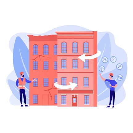
Facade Survey
We have expertise in condition surveys for building façade area. A carefully tailored schedule will dramatically reduce the incidence of unplanned repair, which minimize disruption.
Read More

Drone Survey
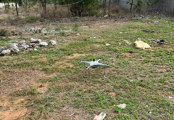
Our drone surveys offer a fast, efficient, and cost-effective way to collect high-quality data for different domain use cases, which includes but not limited to mining survey, forest survey, civil construction inspection, agriculture, transport system mapping & monitoring and lot more.
Read More

Civil Construction Services
We provide a wide range of civil construction solution services which includes Road or bridge design or improvements, Grading or drainage projects, remodeling projects to existing structures, utility design etc.
Read More

CAD and GIS Services
We have expertise in design, mapping, where we offer CAD design for civil design, architectural design and GIS mapping for any land base, topopghphical mapping etc.
Read MoreWhy Vrinda Infrastructure!
- Cost Effective Services.
- Data protection & Security.
- Advanced Instruments.
- Dedicated Support.
- Precision in Quality & Quantity.
- Scalable & Flexible Working Models.

-
6
6
Years of Experience -
80
80
Complete Total Projects -
34
34
Happy Local Clients


